Release 2.5
Deployed on May 1, 2025
This release brings significant performance improvements, enhanced data handling, and several interface refinements—building upon the foundations laid in Release 2.4.
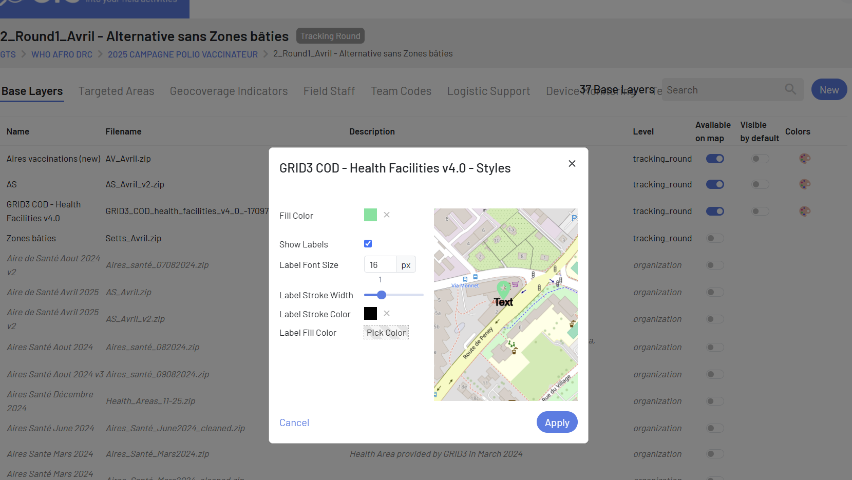
Enhancement: Base Layer Handling for additionnal information on the map
You can now use more detailed map layers, including polygons, points of interest, and lines, with custom styles. These layers load smoothly, even when there’s a lot of information. Any extra base layers added in the Tracking Round settings will now appear on the map.
|
|
Improvement: Last Track Visualization
The position of the last track for a selected team is now highlighted on the map. This gives immediate spatial context when analyzing recent team activity.

|
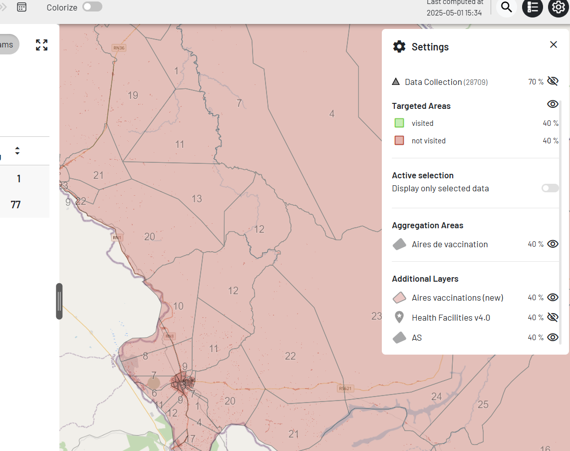
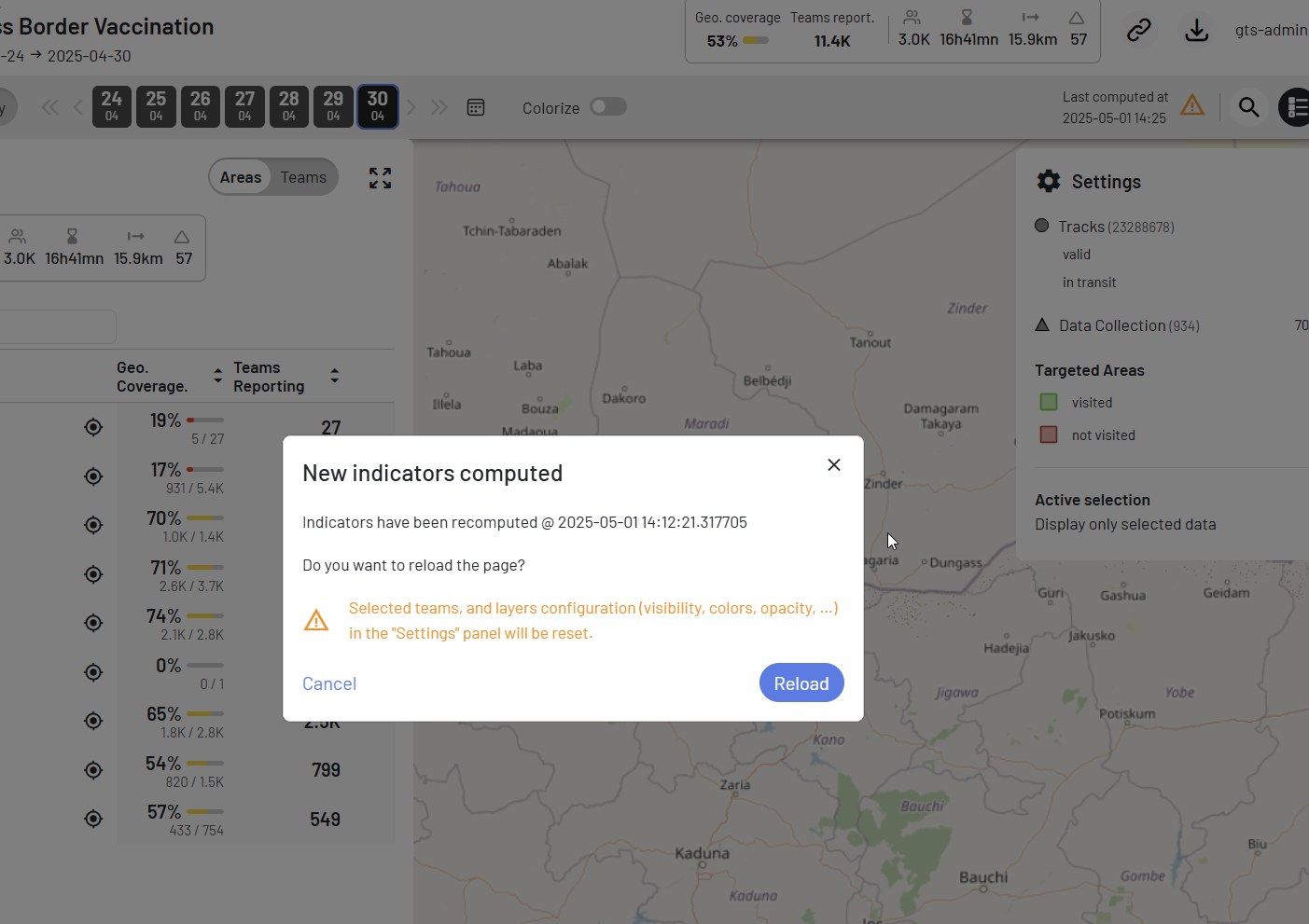
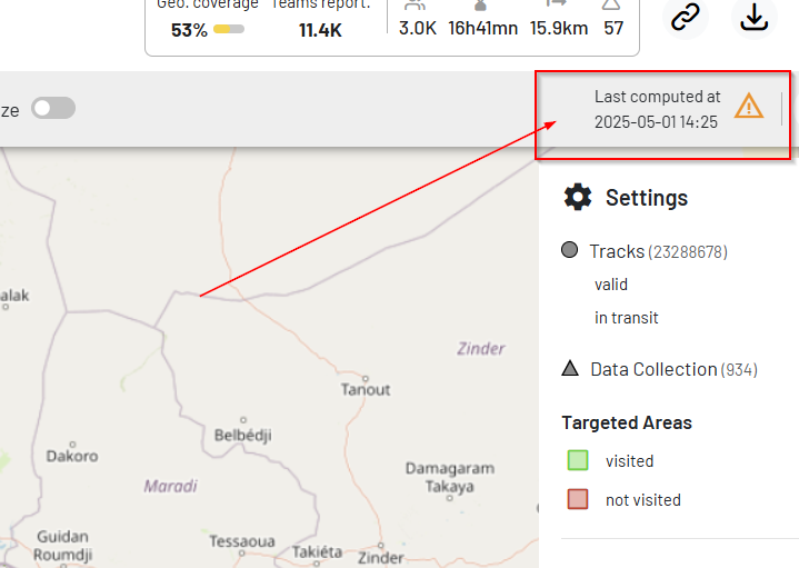
Improvement: Indicators refresh popup
When the indicators are recalculated, a notification popup invite the user to refresh the page to load the last version.
|
|
Refinement: Improved Tracking Round Selector
We’ve fine-tuned the Tracking Round selector to provide a more comprehensive visual timeline:
Extended visual range Tracking Rounds now extend more clearly on the timeline, offering a better overview of their duration and planning.
Navigation fixes Resolved an issue where switching between tracking rounds didn’t update the map view correctly.
Export and Data Handling Enhancements
Efficient Export Queueing Export operations are now grouped by Tracking Round, improving performances.
Better handling of ODK submission More fields are now used to ensure deduplication, reducing errors when handling badly formatted submissions.
Track Import Resilience Track imports now support batch containing duplicated data, making the process more robust.
Base Layer and TA Column Ordering CSV exports now maintain a consistent order for base layers and Targeted Areas.
User Interaction Improvements
Track & ODK click buffer We’ve increased the clickable area around tracks and ODK points for easier interaction.
Geocoverage Visualization Removed the buffer shown at high zoom level for Targeted Areas to prevent misinterpretation of geocoverage status.
Performance Improvements
Optimized several backend components to improve overall API responsiveness.
Bug Fixes
Fixed issue where basemap could be accidentally masked.
Corrected play track animation behavior.
Restored missing material icon.
Fixed encoding issues causing export errors.
Fixed ODK form exports and filter by field activity.
Improved ordering consistency for exported CSV data.
Fixed null temperature values displayed in OData API for VBU.
Corrected indicator display for Tracking Rounds without Targeted Areas.